
Lenggries: Geierstein trail mtb - August 20
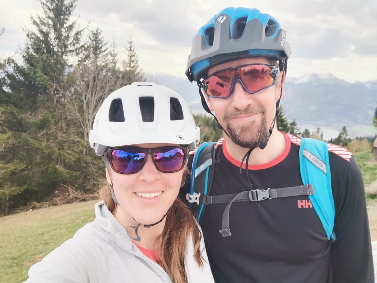
Danka is away this weekend therefore we decided to go for a bike ride on Friday late afternoon. We previously cycled through Hirschtalsattel during our short trans bavaria ride but we have never cycled to Fockenstein or Lenggrieser Hütte. The Fockenstein alternative was more challenging and the one we chose this time.
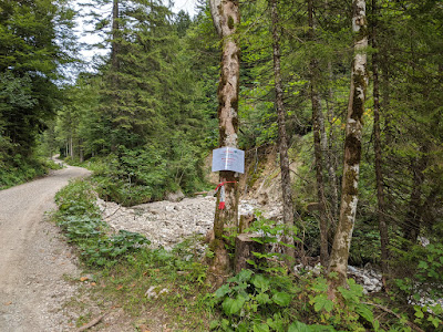
The ride starts at the Hohenburg parking lot, the usual place for hikes to Seekarkreuz or Geierstein. It was almost empty, it is a good sign there will not be many people on trails. The access road has been cleaned just recently. There are visible damages from the recent flooding. Well done, thank you! However, the last part to Hirschtalsattel is still closed. There is a sign at the junction with another road leading to Schlagkopf (see the gallery below. Note, I expect it to be opened soon, so once you read this, the road might be opened. Just FYI). Use an alternative way to Fockenstein. We followed it as well.
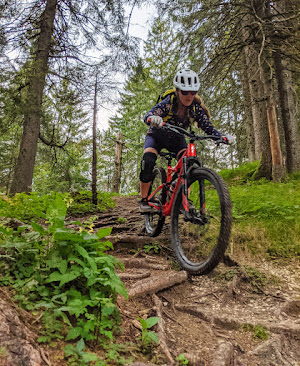
We take the unplanned access road which is leading to our planned trail anyway. As a result, we skipped Fockenstein trail. After the short climb we got to Maximiliansweg. We still needed to cycle through another access road for a few hundred meters. It ends and the trail starts going up. There are a dozen of stairs, also some fallen trees in one section. Hop on and off often here. The actual biking trail starts at the meadow with a hiking sign post right below Geierstein. The left hiking trail leads to Geierstein. Our descent trail goes straight to the forest.
The beginning of the trail is a flowy traverse. Roots start to appear sooner than later. I would rate it S2 (the traverse is S1 but once it gets steeper, more S2 sections there) The worse just awaits. The middle section is the critical part or rather said challenging. The trail here is full of loose gravel, sharp turns with natural or man-made drops. It could be fine for us but as it is steep as well, we decided not to try our limits. We tried a couple of times to ride it but it was very demanding and we were not properly physically prepared (the reviews were more positive and encouraging). We need more practise to come back and enjoy it.
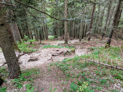
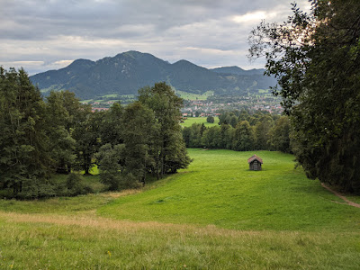
The trail becomes easier as we got lower. Once the forest ends, there is a meadow with a great Brauneck view. From here it is just S1 later S0 all the way back to the parking lot.


Tour info
- Drive
- 55 minutes from Munich
- Start
- Hohenburg parking lot, 2 euros per day
- Duration
- 2:35 hours


