
Chiemgau Alps: Zwiesel trails mtb - Oct 19
When we hiked to Salzburger Hochtron yesterday (I will provide report later this week), there were 2 near peaks in our interest. Zweisel and Hochstaufen. We spotted a ridge walk between these two. What about mtb in this area? There are plenty trails starting from Bad Reichenhall. Our plan was to follow as many trails as we could in one day.
Our start was at 9am from Noon parking lot. It was crowded already, we found one of the last spots free. The climbing starts right from the parking lot, no warm-up again as our pulses went up within first minutes. We reach the top parking lot where we turned to the trail - our first for the day: Padinger Alm Trail. This was very good warm-up, S1 trail down.
We continued to Zwieselalm, ascending around 500 meters. We continue on the gravel road until it its end. This is where the trail with made stairs goes up Zwieselalm. We turned back to lower down 200 meters. Jochberg trail - this is S2 with some S3 parts sections. These 2 trails are short (total around 300m). We got back to gravel forest road and we were climbing again.
This time easier, Jochberg Rinnerauer trails. I would rate them as S1. They finish at the parking lot near Höllenbachalm. We go lower to enter forest again. We are on Jochberg trail after a short climb. Very good S1 flow trail with few natural mini wall rides, smaller drops. After the trail we are climbing to Thumsee trail. This is another harder section for the day.
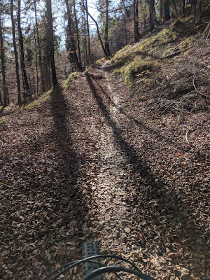
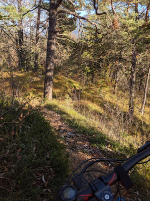
Thumsee trail beginning is S1 traverse (narrow and very steep hill below), sometimes some S2 sections until we reached the zik-zak descent. this is S3 in few places. This trail is quite deep, I once hit the rock with my pedals. One section is on the rock, you recognize it via cable there. I believe this was the hardest section of our day. We descended down to Thumsee.
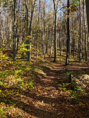
We crossed the road and entered Seelbach trail, it is S0 forest road following the Saalach river. We did not check where this trail continues so we went lower to the main road. We turned left in the village to start climbing to Bürgermeisterhöhe. The initial hundred meters are steep forest road. We turned to a trail that become very difficult to be ridden. Full of leaves, rocks and roots. We were pushing our bike for 30 minutes to reach the top part of Bürgermeisterhöhe. This is also not easy for pedaling as it goes up and down, sometimes with bigger roots/rocks in the ascent parts that just stops you completely. We rested on the top, there is a spot with a bench with Zwiesel & Hochstaufen views.
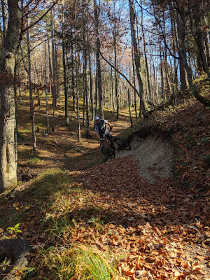
Bürgermeisterhöhe descent was another highlight of the day. Couple of switchback sections with drops right before or after. I would rate this as S2. It finishes in the town at a parking lot. We cross the town to get back to our car.
We collected so many trails within few hours, unbelievable!


Tour info
- Drive
- 1:30 hour from Munich
- Start
- Parking lot at Noon, free
- Duration
- 4:30 hours


